National Geographic, GFDD and FUNGLODE
 | National Geographic, GFDD and FUNGLODE Launch First Dominican Republic Adventure Map (Washington, DC, February 19, 2008) The National Geographic Society (NGS) has just published the first adventure map of the Dominican Republic. The project has been made possible thanks to support from Dominican President, Dr. Leonel Fernández, and collaboration by Global Foundation for Democracy and Development (GFDD), Fundación Global Democracia y Desarrollo (FUNGLODE) and the Instituto Cartográfico Militar Dominicano (Dominican Military Institute of Cartography). The map meets the need to strengthen and expand upon the nation’s visitors and the tourist industry’s understanding and perception of the Caribbean nation; promote the diversification of tourist offerings; and create a solid cartographic base for the country — requisites identified by the Dominican President. This initiative of GFDD and FUNGLODE forms part of the Foundations’ shared mission to reinforce national identity.. This publication is the first in the field of geo-tourism and adventure travel that unites reliable and appealing information for tourists interested in becoming more familiar with what the country’s more conventional routes, the adventurous spirit seeking to explore remote areas, and Dominican citizens, all of whom, for the first time, will have access to a tool of this kind and caliber.In response to local input, National Geographic has produced the one of a kind adventure map in both English and Spanish. The release of this publication concludes a work process of various years carried out by an international interdisciplinary team led by GFDD Executive Director and FUNGLODE Vice President, Natasha Despotovic, which has been supporting the work of NGS. To bring to fruition this unprecedented endeavor, NGS relied upon the trustworthy information that GFDD and FUNGLODE have accumulated about the country and its extraordinary resources via their numerous initiatives, as well as technical support from the Instituto Cartográfico Militar and its team of professionals, led by General Rosanna Pons. Contributions by archeologist, Adolfo López, and oceanographic expert, Roberto Llerena, also aided in the development of this extraordinary resource aimed at experts, tourists and the Dominican public at large. Photographer, Anne Casale, GFDD and FUNGLODE collaborator and Co-Author of the book, New Perspectives: Dominican Republic, has contributed to the development of the map with a selection of diverse, high-quality photographs. This initiative of GFDD and FUNGLODE forms part of the Foundations’ shared mission to reinforce national identity, and recognize and publish important materials related to the Dominican Republic’s natural and cultural resources. In order to fulfill these objectives, GFDD and FUNGLODE realize projects like Portal Dominicanaonline (www.dominicanaonline.org) and the recently published illustrated book, Dominican Republic: New Perspectives (/Portal/english/compras/compras.asp). The map is currently available in English anywhere National Geographic products are sold, as well as through NGS’s online store. The Spanish version of the map will soon be available. The National Geographic’s travel guide on the Dominican Republic developed through support by the Dominican President and collaboration by GFDD and FUNGLODE is currently in the process of production. Related links: Online Store: National Geographic Country Guidebooks
| |||
| Update Date: February 19, 2008 |

Related News
-

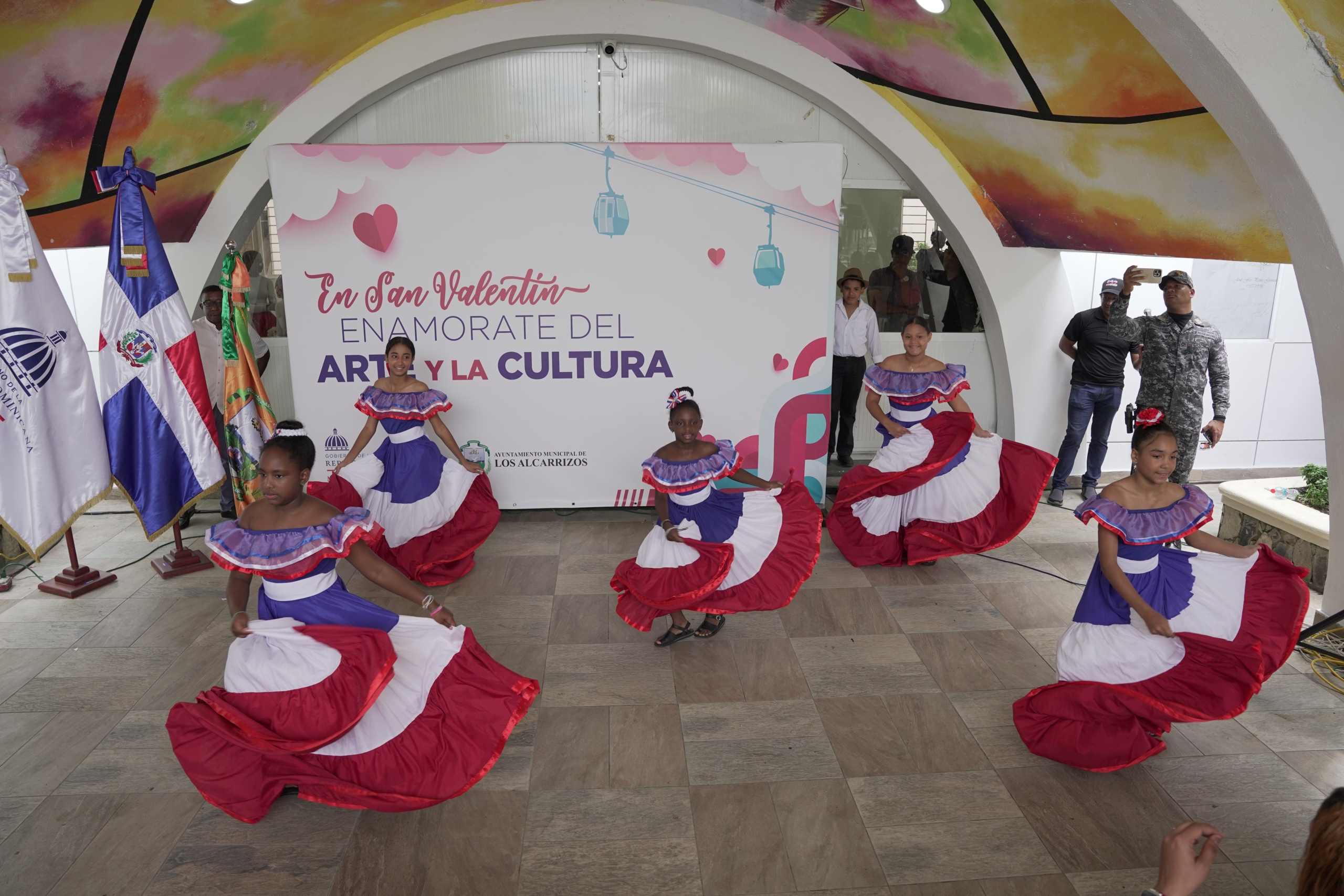
(Versión en español) MINC realiza el evento "Enamórate del Arte y la Cultura" en Los Alcarrizos
-

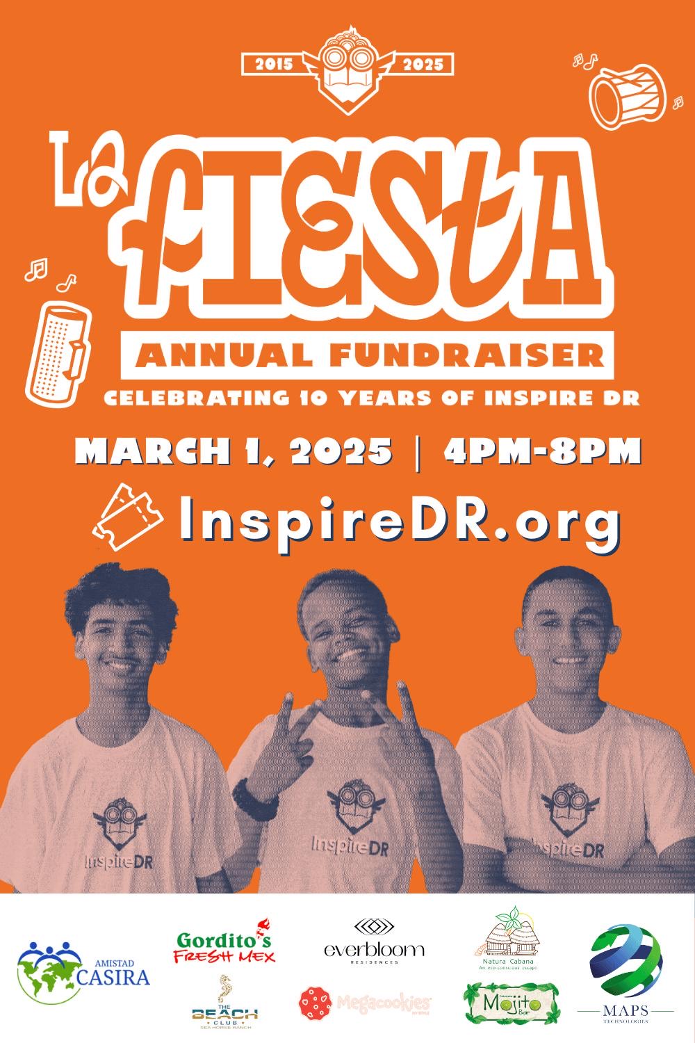
(Versión en español) InspireDR celebra una década de impacto con “La Fiesta 10” en Cabarete
-

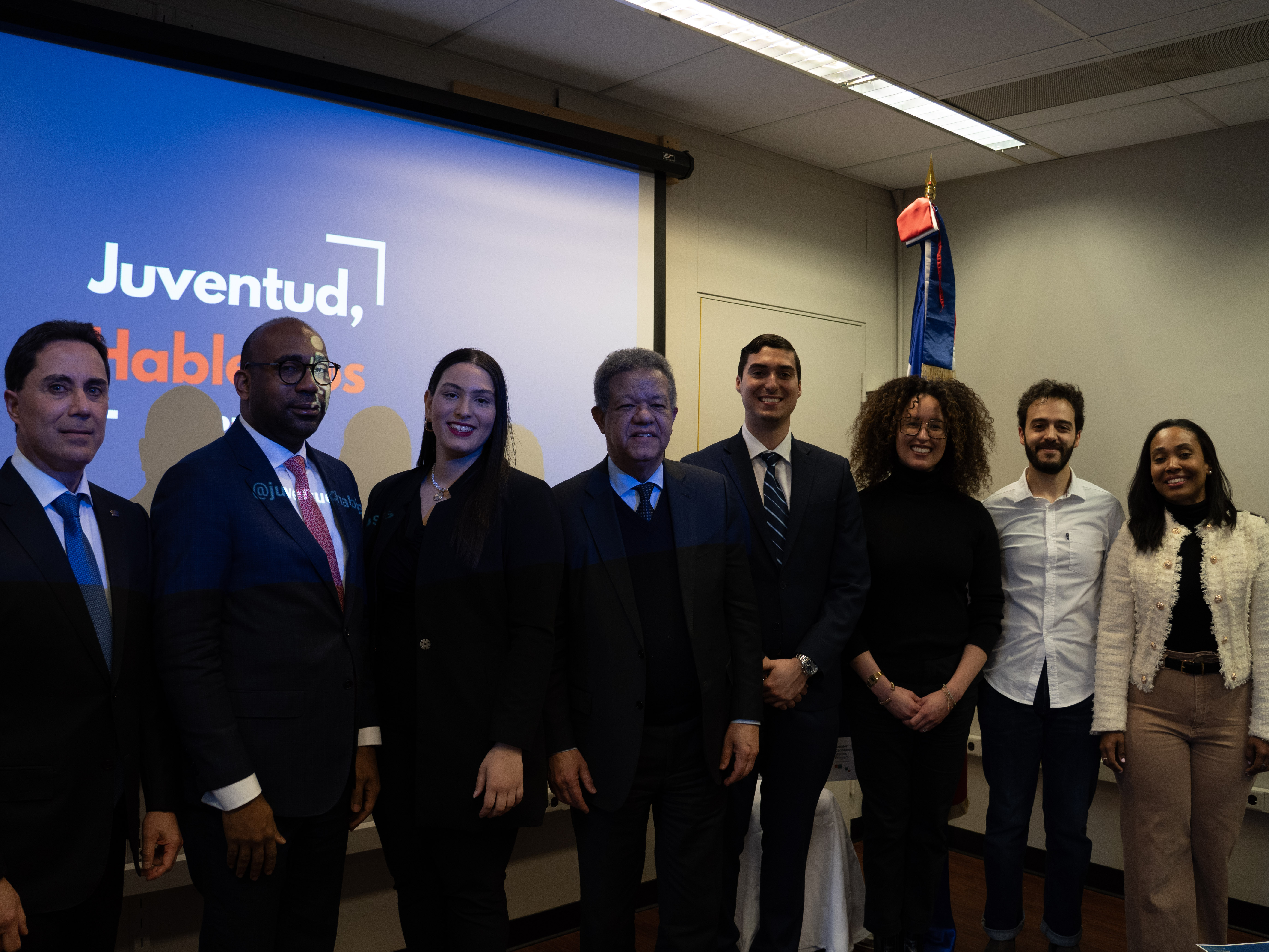
(Versión en español) Organización “Juventud Hablemos” de la Universidad de Columbia y la GFDD copatrocinan a casa llena evento sobre “La evolución de la democracia en la República Dominicana”
-

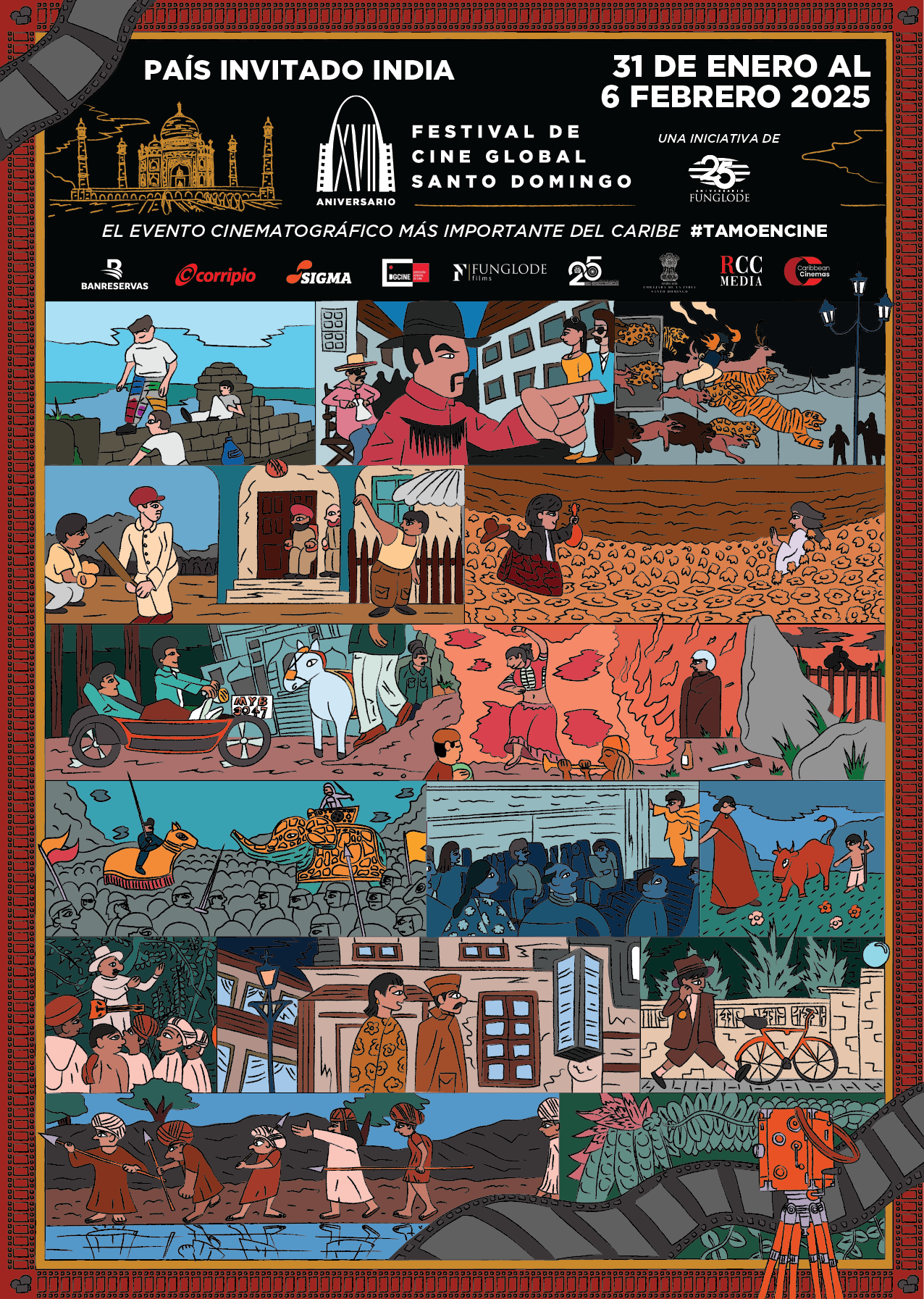
(Versión en español) Realizan premiere del documental “El Padrino II: 50 años y su filmación en República Dominicana”
-

Actividad #1
Dónde:: Complejo Acuático Del Centro Olímpico Juan Pablo Duarte.
Días: 28 y 29 de noviembre 2016.
Precios: RD$1,1000.00 VIP, RD$600.00 gradas.


