ONE presenta productos del Proyecto Actualización y Digitalización Cartográfica Nacional
 | ONE presenta productos del Proyecto Actualización y Digitalización Cartográfica Nacional La Oficina Nacional de Estadística, ONE, dio a conocer los nuevos productos del proyecto Actualización y Digitalización Cartográfica Nacional, correspondiente a Zonas Urbanas Municipales y Mapa Político-Administrativo 2009. Desde el año 2005 la ONE ha venido desarrollando la cartografía censal, con el objetivo de actualizarla, digitalizarla y hacerla ínteroperable, lo que permitirá obtener los productos necesarios para la planificación, operación y difusión del IX Censo Nacional de Población y Vivienda 2010. Durante la actividad, efectuada en las instalaciones de la ONE, se entregaron los CDs con los nuevos productos. El primero contiene 51 zonas urbanas municipales correspondientes a las provincias La Vega, Duarte, La Altagracia, Barahona, Baoruco, Elías Piña, El Seibo, Dajabón, Espaillat e Independencia, con informaciones de vías, nombres de calles y números de viviendas por manzanas, entre otros contenidos. La meta es alcanzar a fin de año, el 100% de 384 zonas urbanas del país. Mientras, en el CD que contiene el Mapa Político Administrativo 2009, se pueden apreciar los límites de las regiones, provincias, municipios, distritos municipales y secciones, según leyes promulgadas al 30 de junio de 2009. Además, se incluyen las autopistas y carreteras nuevas. Desde el año 2005 la ONE ha venido desarrollando la cartografía censal, con el objetivo de actualizarla, digitalizarla y hacerla ínteroperable, lo que permitirá obtener los productos necesarios para la planificación, operación y difusión del IX Censo Nacional de Población y Vivienda 2010. “En paralelo a este esfuerzo, seguimos trabajando con los procedimientos para una actualización continua de la cartografía digital, la cual se sustenta principalmente en una Infraestructura de Datos Espaciales (IDE), herramienta que estamos trabajando en conjunto con otras instituciones del Estado, de forma que poseamos a mediano plazo una única fuente de datos territoriales, actualizada en el Estado dominicano, evitando de esta forma costos muy elevados en la manutención, implementación de sistemas, actualizaciones, entre otros”, expresó durante su discurso el licenciado Pablo Tactuk, Director Nacional de Estadística. El licenciado Tactuk señaló además, que la ONE está trabajando en la fase de implementacion para fines de año de un servidor de mapas con información cartográfica interactiva, el cual permitirá una mayor funcionalidad entre los usuarios y la información estadística georreferenciada, facilitando así que los gobiernos locales e instituciones estatales utilicen esta información para una mejor gestión y planificación territorial, además de permitir a la comunidad una visión integradora de sus ciudades. Tanto el servicio de información cartográfica digitalizada y el Mapa Político Administrativo 2009, están disponibles en la página Web institucional, en CDs, a través del Departamento de Ventas de la ONE; y a la vez, los usuarios tienen la oportunidad de pagar por la obtención de los productos mediante contratos específicos, en caso de que soliciten información más detallada y de análisis más complejos, como por ejemplo, usos de suelo desagregados a nivel de manzana, análisis geoestadístico y/o generación de indicadores a diferentes niveles territoriales. Con esta iniciativa de difusión de la información cartográfica, la ONE podrá establecer un control de calidad por parte de los usuarios y ciudadanía, de forma que mediante el contacto virtual tengan la oportunidad de realizar observaciones, las cuales servirán para generar un proceso de mejoramiento continuo de la información institucional.
| |
| Fecha de Actualización: 6 de Septiembre del 2009 |

Noticias relacionadas
-

MINC realiza el evento "Enamórate del Arte y la Cultura" en Los Alcarrizos
-

InspireDR celebra una década de impacto con “La Fiesta 10” en Cabarete
-

Organización “Juventud Hablemos” de la Universidad de Columbia y la GFDD copatrocinan a casa llena evento sobre “La evolución de la democracia en la República Dominicana”
-

Realizan premiere del documental “El Padrino II: 50 años y su filmación en República Dominicana”
-

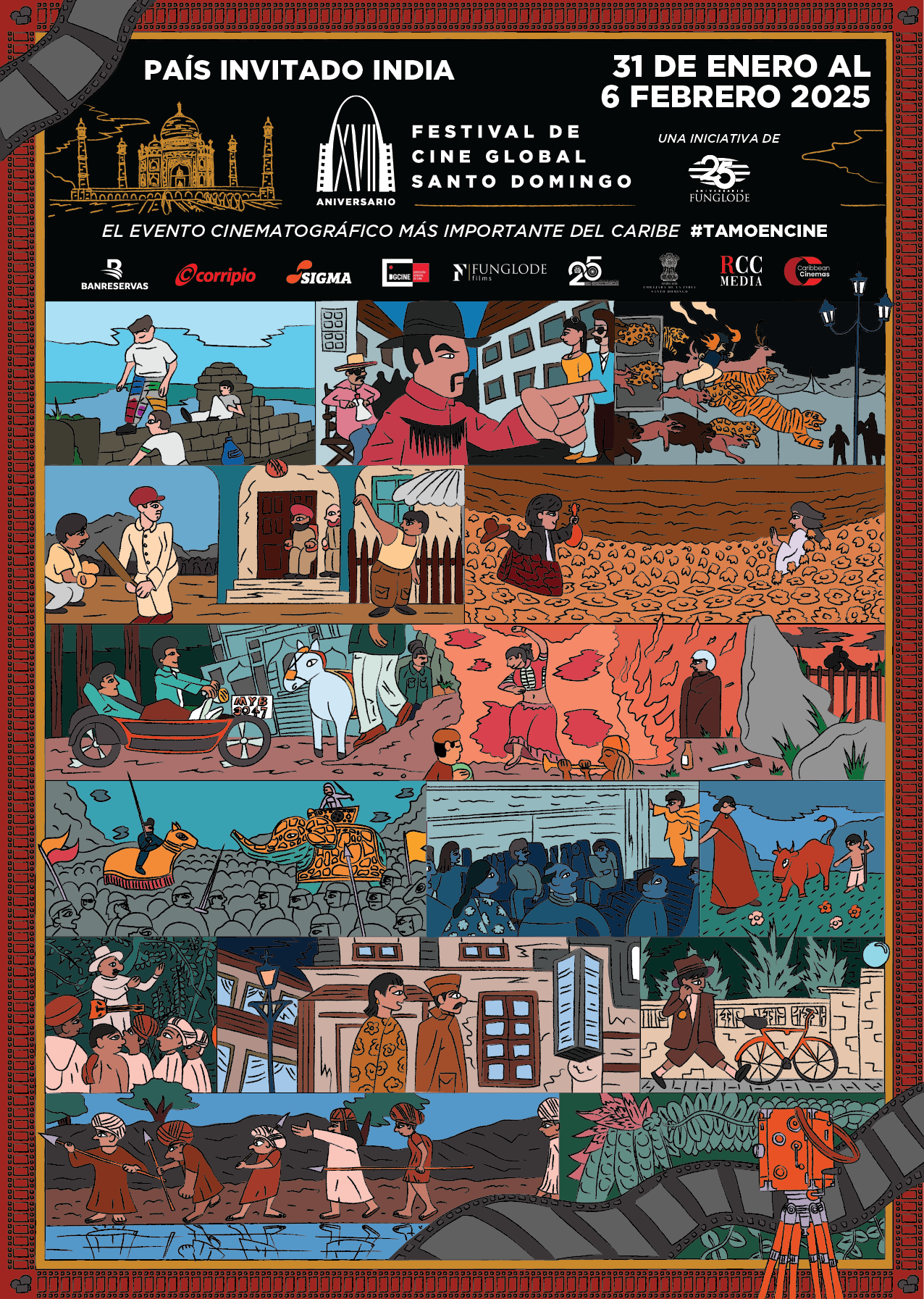
Festival de Cine Global de Santo Domingo (FCGSD) - Del 31 de enero al 6 de febrero del 2025
El Festival de Cine Global de Santo Domingo arriba a su decimoséptima edición con muchos logros y protagonistas. Los artistas internacionales y los dominicanos que han dejado su estela durante su paso por Santo Domingo y las demás ciudades que han sido sedes del Festival, son la mejor evidencia de la calidad que ha logrado el encuentro cinematográfico organizado por la Fundación Global Democracia y Desarrollo (FUNGLODE).


